Active Transportation & Complete Streets
Active Transportation and Complete Streets focus on designing roadways that safely accommodate people walking, cycling, using wheelchairs, and driving cars together. In Ontario, these approaches ensure that streets serve all users regardless of age or ability, creating neighborhoods where children can walk to school and seniors can cross intersections comfortably.
2 min read
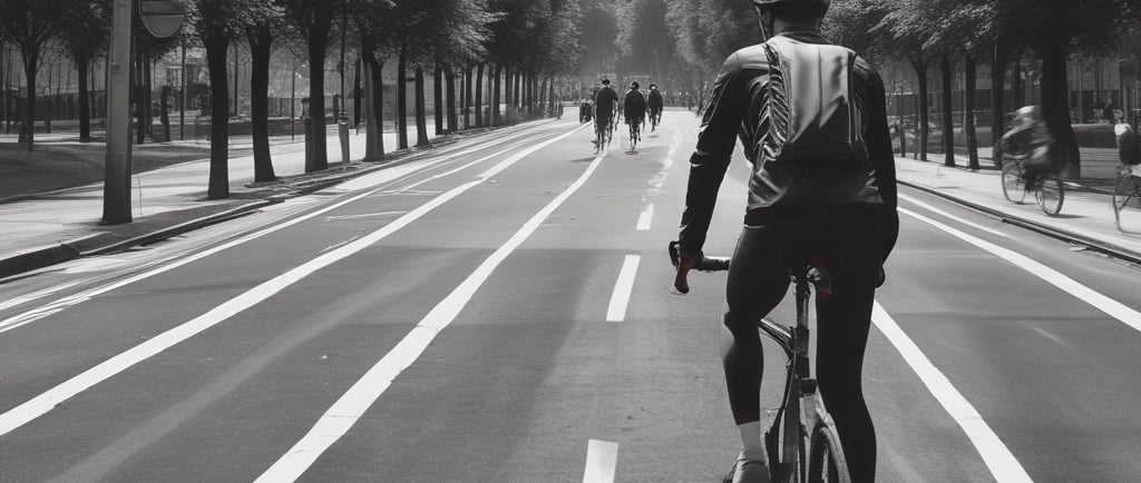
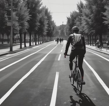
Cycling infrastructure planning and conceptual design
Engineers design cycling infrastructure by studying traffic patterns to find the safest routes connecting neighborhoods, schools, and shopping areas, then creating dedicated spaces that separate bicycles from motor vehicles. These designs often include protected bike lanes with physical barriers like curbs or flexible posts, buffered lanes with painted separation, or multi-use paths shared with pedestrians depending on the road width and traffic speed. Proper cycling infrastructure reduces the risk of collisions by keeping bikes away from fast-moving cars while encouraging more people to choose healthy, environmentally friendly transportation options for their daily commutes.
Multi‑use trail planning
Multi-use trails create safe corridors away from vehicle traffic where people can walk, jog, cycle, or use mobility devices through parks, along waterfronts, or across natural areas. Planners must consider the trail surface material to ensure it remains accessible during all seasons, include proper lighting for evening safety, and design intersections with roads to clearly mark where trail users have the right-of-way. These trails provide essential recreational opportunities and practical transportation routes that allow residents to travel through their communities without worrying about sharing space with cars and trucks.
Sidewalk and pedestrian facility planning
Sidewalk planning involves designing walkways wide enough for wheelchairs, parents with strollers, and groups walking side-by-side while ensuring surfaces remain smooth and free of tripping hazards. Engineers must install curb ramps at every intersection to meet Ontario's accessibility standards, place pedestrian signals at appropriate heights with audible cues for visually impaired individuals, and ensure snow removal plans keep paths clear during winter months. Well-designed pedestrian facilities encourage physical activity, support local businesses by making stores accessible on foot, and provide independence for people who cannot drive or use public transit.
Active transportation master plans and network plans
Active transportation master plans are comprehensive long-term strategies that map out future bike lanes, walking paths, and trail connections across an entire city or region over ten to twenty years. Transportation officials analyze current travel patterns, identify missing links in the walking and cycling network, and prioritize projects that connect residential areas to schools, employment centers, and transit stations. These plans ensure that infrastructure investments happen in a logical sequence, building a complete network rather than isolated segments, so that residents can eventually travel anywhere in their community safely without needing a car.
Bike and pedestrian counts
Bike and pedestrian counts involve systematically recording how many people walk or cycle through specific intersections, along trails, or across bridges using manual observers, automated counters, or video analysis. Transportation agencies conduct these counts during different seasons and times of day to understand peak usage periods and justify funding for new infrastructure where demand is highest. This data helps engineers predict future growth in active transportation, measure whether new facilities are actually being used after construction, and demonstrate to policymakers that investments in walking and cycling infrastructure deliver measurable benefits to the community.
Get in touch with TERDAC today.
© 2026. TERDAC, All rights reserved.